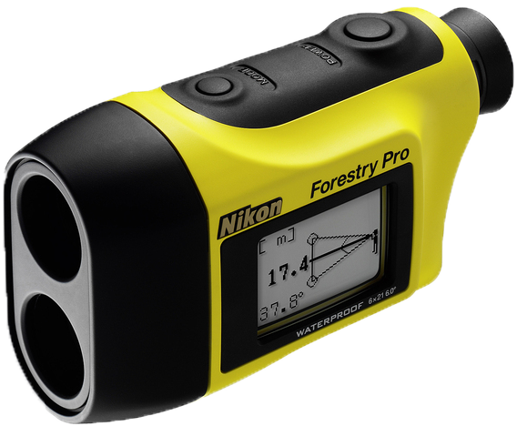
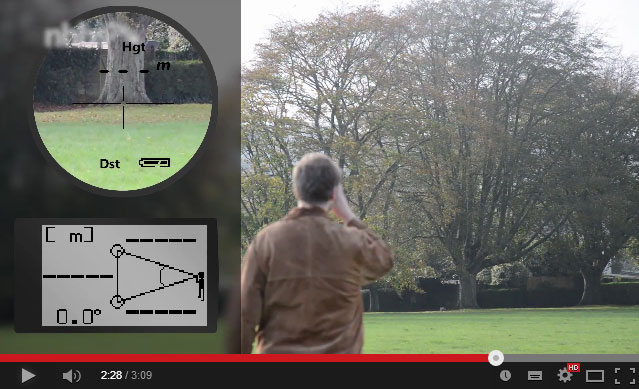
The Nikon Forestry Pro Rangefinder is a hypsometer – a combination of clinometer and laser rangefinder (jump straight to our video explaining how to use it). They are incredibly useful for ecologists and field biologists – here are five commonly encountered survey measurements you can quickly and accurately use a Forestry Pro to answer:

1. How tall is that tree?
Foresters, or forest/woodland surveyors, commonly use a clinometer to measure the height of trees. This data can provide important information on tree growth rates, habitat structure, and timber volume.
2. How high is that bat roost entrance?
For bat workers and researchers, determining the location and height of roost entrances is a vital part of surveying the location of colonies, along with preferred habitat characteristics. The height of a bat box or artificial roost may also need to be measured, and the clinometer makes this possible without the need for a ladder and tape measure.
3. What is the slope of that hill?
You can use the clinometer function to determine the height and slope of an area of land such as a hill or mountain. They can also be useful for marine biologists and oceanographers for measuring changes in slope on beaches and dunes.
4. What’s the distance between these [two things]?
The laser rangefinder function can be used to measure distances between e.g. a hedge and windturbine or a house and a treeline. It is a particularly useful way of taking a measurement from Point A (where you are) to a Point B that you have a line of sight to but can’t directly access.
6. How tall is my colleague?
Ok, so maybe this isn’t something that you are likely to need (or want) to measure. But we wanted to see how the Forestry Pro managed with relatively modest heights and close distance (are the cows small or far away?). At its minimum operating distance of 10m it had no problem measuring a height of 150cm, demonstrating that this combined clinometer and laser rangefinder is suitable for measuring even small differences in height and inclination.

